Could it have been some large company that held the land and put their own buildings on it? There are some regions around here that are as large as the cities they border but are private land, Hoogovens (now Tata Steel) in IJmuiden is one of those and near Rotterdam there is 'Pernis'. Inside those it is a huge jumble. Other options: swamp land, native American settlements, army installations. Bushwick loosely translated is 'Boswijk' aka forest borough, so the area may have been heavily forested. The roads there may then have been logging roads rather than roads for regular traffic.
>Could it have been some large company that held the land and put their own buildings on it?
Coincidentally that describes an area a bit north of where I'm focusing called "Rego park". Where does the name Rego come from? Was it what the Native Americans called it before the settlers arrived? Was it the name of some important person in history? Nope. None of those. The company that developed the area was called "Real Good Realty". Rego is a contraction of REal GOod. Yep, its that stupid. But Rego Park is still grid conforming.
There's a bunch of strangely curving streets a bit East of Rego Park in a crescent shape starting at 63rd St. Those are bending around the (now abandon and overgrown) tracks of the LIRR Far Rockaway branch. That line continues straight South exactly tangent to the curve. There's a few other places on the map where long gone rail lines influenced streets, but those mostly form minor exceptions to grid rules rather than full on dissolution.
You're right Bushwick was absolutely Forrest from what I've read. But Bushwick itself is actually pretty grid conforming. Its approximately rectangular and slightly rotated relative to Bedstuy on its left side. The difficult parts start just above Bushwick. Namely around Ridgewood, Glendale, Maspeth and Middle village.
Queens is unusual in the sense of having developed incredibly recently. Like literally farm land as recently as the 50s in some parts. Logically it should be the most conforming to the overall street plans, yet it isn't. Yeah there's natural borders like those cemeteries, but if it had streets running along the edges of the cemeteries the result would be a square layout leading exactly to a grid! Its almost like someone went out of their way to avoid making sense!
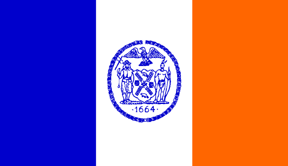
BTW since you're interested there's quite a few place names you missed in NYC where the influence of the Dutch settlers can be seen. New Utrecht Ave, Dyker Heights, Stupyen Duvil, Yonkers, Van Ness, Van Wyck...probably more but those are the ones I can think of off hand. There's also the flag of the city [1] which still has the blue-white-orange banner of the Dutch crown (albeit vertical rather than horizontal). I've been told in recent times that particular tri-color pattern has an unfortunate association with far right political movements. Is it true?
> New Utrecht Ave, Dyker Heights, Stupyen Duvil, Yonkers, Van Ness, Van Wyck...
I'm aware of them, just figured the point had been made. There are indeed quite a lot more of them if you know how to look for them. The degree to which they have been bastardized sometimes makes it harder to spot them.
> There's also the flag of the city [1] which still has the blue-white-orange banner of the Dutch crown (albeit vertical rather than horizontal). I've been told in recent times that particular tri-color pattern has an unfortunate association with far right political movements.
The 'Prinsenvlag' (the non rotated version) is indeed associated with the NSB, the Dutch Nationalist Socialist Movement which during World War II made nice with the Nazis and whose name is pretty much synonymous with 'traitor'. In more recent times it has been associated with the PVV another right wing party with nationalist tendencies.